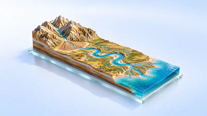
Formation of river landforms
Why does the shoreline of the Yangtze River at Zhenjiang keep shifting northwards?
Explore freely
Xu Xiake described sharp, isolated peaks rising in rows. How did these develop from a layer of rock?
Free · No sign-in needed to learn
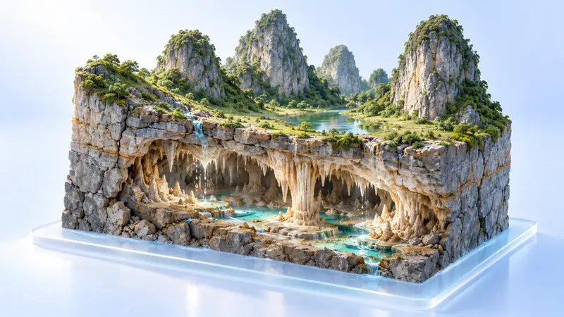 ▶ Open 3D simulation
Why does the shoreline of the Yangtze River at Zhenjiang keep shifting northwards?
Why do the Sun's altitude and direction at noon change systematically throughout the year?
Why did tens of thousands of toy ducks lost at sea drift to coastlines around the world?